Drones are powerful tools to be used in a wide variety of industries that are able to benefit from their impressive functionalities. Energy resources industries such as mining, petroleum, and gas are the leading sectors when it comes to investment in these last-generation professional tools.
Use of drones in the energy resources industry
In the industrial realm of mining, the control of open pit mines with drones provides updated images of the exploitation state at the time it optimizes the extraction of energy resources. Making it possible to estimate the volume of material extracted within an established period. This period would be set in the control drones, which will perform predefined operations with a repeated period.
In addition, it is possible to obtain measurements of variables of interest, such as the concentration of air pollutants, surficial geology, water resources, weather conditions, magnetism, etc. Improving the coordination of work and the monitoring of the environmental impact and earth movements, etc.
In the petroleum industry, the use of drones can facilitate the location of oil fields. Helping geologists to map difficult-access areas, by defining the geology of surroundings, it becomes easier to find nodes of these energy resources. Furthermore, drones can be used as repeaters for transmitting data over long distances during these exploration campaigns.
More specifically in the production of the petroleum industry, drones can be used for inspection and maintenance of oil rigs. The advantages provided over traditional methods are the reduction in the risks assumed by specialized personnel and the capability to operate without disrupting extraction operations of these energy resources, saving millions of dollars per inspection.
In the gas industry, it is very important for safety and productivity to have a comprehensive control of the maintenance of its facilities, which are extended along thousands of kilometers. In order to achieve this, the employment of professional drones is highly recommended. With the aid of electro-optical and infrared sensors, drones provide a lot of information about the pipelines, such as 3D models, volumetric measurements, photographs, and topographic analysis.
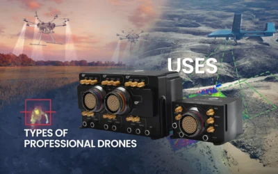
Veronte Autopilot 1x is ideal for optimizing the necessary automation for any UAV; both multirotors and fixed wings can perform the described works in any of the energy resource exploitation industries.


